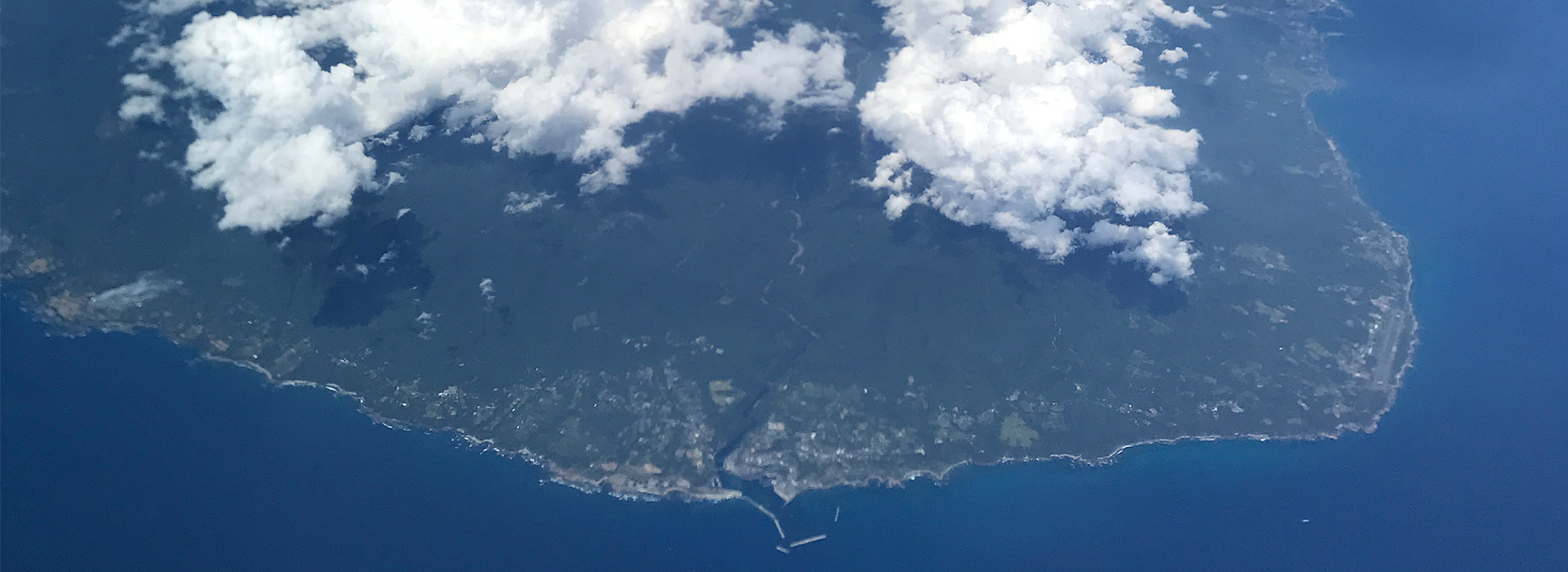

Yakushima Outline
| Latitude and longitude | 30 degrees, 23 minutes, 25 seconds north latitude 130 degrees 39 minutes 05 seconds east longitude |
|---|---|
| Summary | With a circumference of 132 km and an area of 504.3 km², it is the 8th largest island in Japan.※Excluding Honshu, Hokkaido, Shikoku, and Kyushu. Yakushima Island is located approximately 60 km south of the southern tip of Kagoshima's mainland, and is roughly circular in shape, measuring 28 km east to west and 24 km north to south. Mt.Miyanoura, Kyushu's highest peak at 1,936 meters above sea level, and other peaks over 1,000 meters above sea level are also known as the "Oceanic Alps. About 90% of the island is covered with forest, and the island is also characterized by the presence of Yakusugi cedar trees that are over 1,000 years old, subtropical vegetation near the coast, and alpine vegetation with snowfall in winter. |
| Town tree (Symbolic tree of the town) |
Yakusugi cedar Cedars that grow naturally on Yakushima at altitudes of 500 m or higher, especially those estimated to be 1,000 years old or more, are called yakusugi. It contains a large amount of resin and is resistant to decay. It is prized as one of the world's finest woods because of its beautiful grain. |
| Town flower (Symbolic flower of the town) |
Rhododendron yakushimanum The beautiful pale pink flowers bloom from May to June, covering the mountains of Yakushima in a brilliant color. It is 2 to 3 meters tall, and the underside of the leaves is covered with hairs and has five petals. |
| Town bird (Symbolic bird of the town) |
Yakushima robin (Erithacus komadori) A subspecies of the robin, belonging to the thrush family of sparrows, this bird has a dark reddish-brown back and tail, a reddish-brown breast with a black band around the edge, and a white belly. It is said that the name "koma-dori" comes from the fact that its cry resembles the cry of a horse. |
| Japan's first UNESCO Triple Crown | ● Registered in December 1993 World natural heritage site ● Registered in November 2005 Ramsar Convention-listed wetlands ● Registered in 1980, area expanded in March 2016 UNESCO Eco Park |
| How to access | ◆Airplane JAC (Yakushima Air Service) Itami(Osaka) - Yakushima route (1 flight: 100 min.) Fukuoka - Yakushima route (1 flight: 70 min.) Kagoshima - Yakushima route (5 flights: 35 minutes) ◆High Speed Boat High Speed Boat Toppy&ROCKET Kagoshima Port Tane/Yaku High Speed Boat Passenger Terminal - Yakushima Island (6 services: 120~180 minutes) ※Yakushima's high-speed boat depots are Miyanoura Port and Anbo Port. ※Time required depends on the flight, as there are direct flights and flights via Tanegashima. ◆Ferry Ferry Yakushima 2 (Orita Kisen) Kagoshima Port South Pier Passenger Terminal - Miyanoura Port, Yakushima (1 flight: 240 min.) |
| GoogleMAP |
